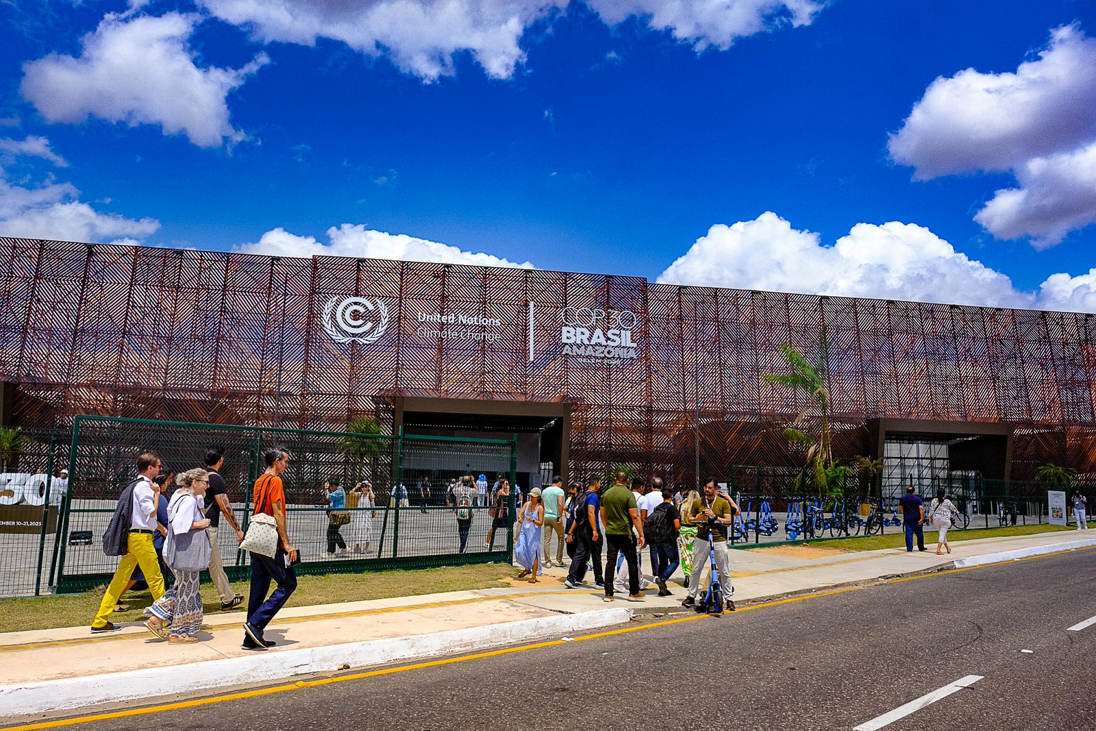
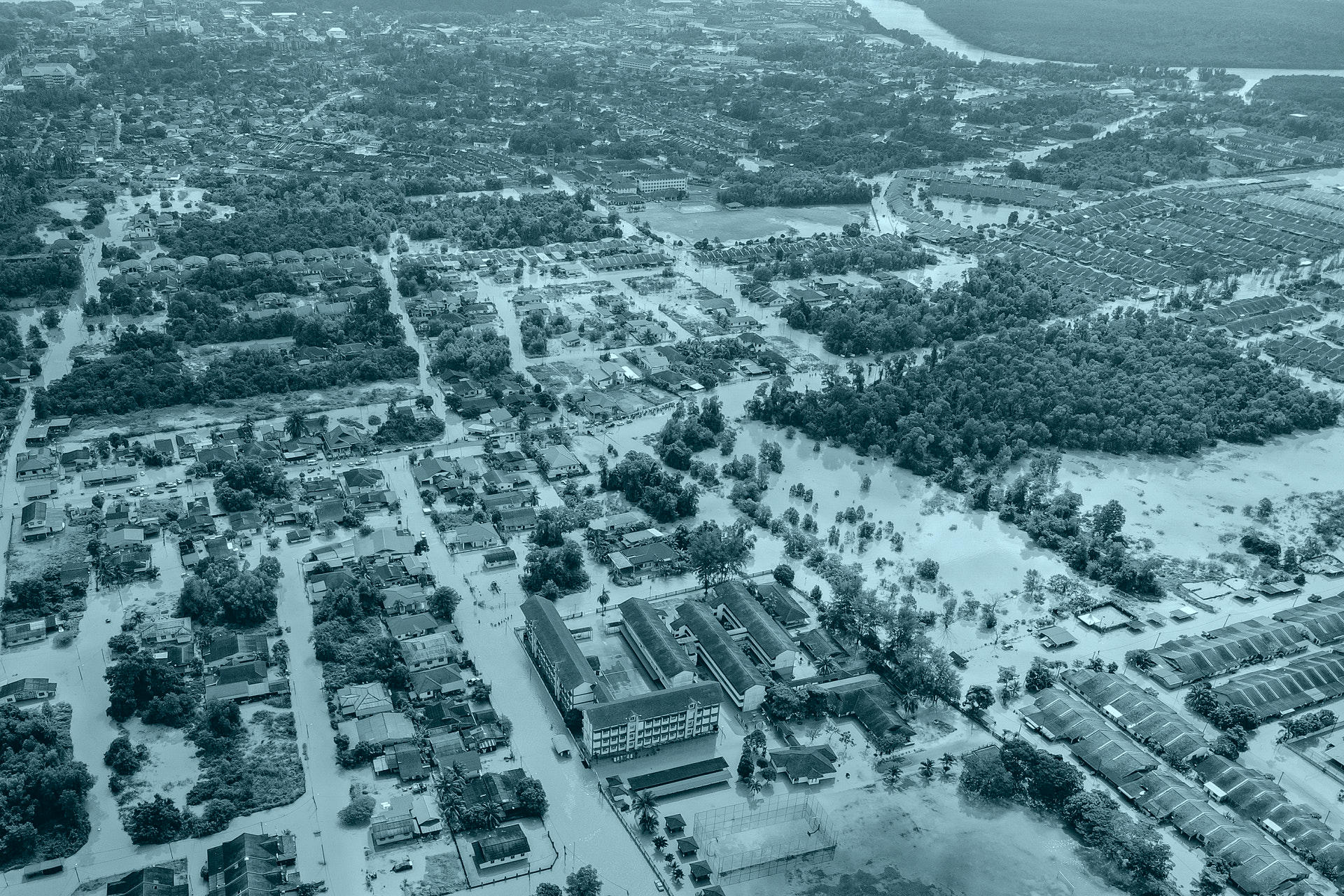
Predicting how extreme weather events such as megastorms will travel and evolve could help save countless lives as it gives communities time to better prepare. With the likelihood of these events increasing due to climate change it is important that effective forecasting systems are developed.
Although it is hard to link single weather events to climate change, there is a scientific consensus that a warming world does make extreme weather events more likely. What is commonly referred to as “extreme event attribution” is the study of the relationship between climate change and weather patterns. When talking about climate change it is important to identify the difference between single weather events and long term trends that give concrete evidence of climate change.
“The association of climate change to single events is tricky” explains Enrico Scoccimarro, Senior Scientist at CMCC, whose main research activity is to investigate the relationship between tropical cyclones and the climate. When talking about extreme weather events, Scoccimarro highlights the importance of drawing conclusions from general trends over long periods of time, rather than identifying evidence for climate change in single weather events. In a recent paper co-authored by Scoccimarro, Heavy precipitation events over East Africa in a changing climate, changes in weather patterns are identified indicating a probable rise in extreme weather events and therefore providing valuable information for the region’s climate change adaptation and mitigation efforts.
What are the causes?
Research by Carbon Brief indicates that anthropogenic factors are behind the rise in extreme weather events. By looking at over 300 peer-reviewed papers that study how anthropogenic factors have raised the probability of wildfires, hurricanes, typhoons, flooding, and heatwaves occurring.
“Through the attribution studies that have been published so far, scientists found that human-caused climate change has altered the likelihood or severity of an extreme weather event in 78% of cases studied (69% made more severe or likely and 9% made less so)”, reads the Carbon Brief article. Findings that are corroborated by the National Climate Assessment, which also demonstrates that the amount of these events in the USA has increased in both number and strength.
In Japan, similar trends are also visible. Atsushi Goto, Tokyo Climate Center expert for climate change, explains that: “There’s no statistically significant long-term trend in terms of the total annual rainfall amount in Japan, but when we focus on extreme rainfall events, we see a significant long-term increase in the annual number of days with more than 200mm of rain, which we predict will continue steadily or increase more rapidly. The frequency of localized torrential rain events (over 50mm per hour) has also increased since 1975. On the other hand, the annual number of days with precipitation has decreased. This trend indicates the risk of drought will increase in the future, as well as that of landslides and floods. Furthermore, the number of extremely hot days, with a maximum temperature of 35 degrees Celsius is virtually certain to have increased, largely since the mid-1990s.”
Can they be predicted?
Seeing as extreme weather events are only likely to increase in the near future it is important to better prepare for them. This also includes developing a better understanding of when and how they will hit. Japan has recently had a rapid succession of typhoons, with typhoon Haishen striking the country shortly after Maysak. Forecasting systems played an essential role in determining the evacuation of 1.8 million people. “The Japan Metereogical Agency (JMA) provides typhoon forecasts for the next five days – this is the limitation of technology. In the case of Haishen, JMA issued a strong alert five-six days before”, explains Atsushi Goto.
Our results have important implications for nowcasting of severe weather in the Sahel and potentially in other MCS hotspot regions of the world.
This 5-day warning system allowed for communities to prepare and evacuate; limiting the amount of damage caused. Ensuring a predictive capacity for all types of storms is therefore imperative.
These predictions are not just limited to the pacific region. In the Mediterranean, researchers at the CMCC produced two high-resolution forecasting models that were able to simulate the trajectory of Medicane Ianos, a cyclone that produced intense mesoscale vortices over the Mediterranean Sea and possessed a tropical-like structure even if remaining smaller in size. The forecasting system provided reliable and innovative solutions for coastal storm surge alerts with several days warning, confirming its potential as an effective tool for dealing with similar phenomena in the future.
New research by the UK Centre for Ecology and Hydrology (UKCEH), published in the PNAS journal, focuses on predicting storms in the African Sahel region and has made groundbreaking developments that could be applicable elsewhere. The research concentrates on mesoscale convective systems (MCSs) which are a type of complex and largescale “megastorms” that can last for several hours or more but are not quite on the scale of extratropical cyclones. These megastorms affect large parts of the world and can wreak significant damage as it is considered impossible to predict their direction and intensity.
However, the UKCEH study has made significant links between land surface conditions and their impact on the direction and intensity of megastorms after they have formed. This will give scientists extra tools for predicting extreme weather events with more accuracy, thus enabling alert systems for communities across the Sahel region to give up to 6 hour’s notice of an impending storm.
Lead author Dr Cornelia Klein of UKCEH explains: “It is well known that heat provides thunderstorms with great energy, but it was commonly thought that once they are moving, they were not affected by the state of the ground over which they traveled. However, we found that drier soils increased the intensity of an MCS mid-storm, affecting the amount of rainfall they release and also where they travel. Conversely, we found storms were often weakened over moister soils.”
“Our finding means that, for the first time, we can predict, from satellite-observed surface conditions, how these extremely large West African storms may behave when, for example, they approach a city. A more effective alert system will enable local people to take action to protect themselves as well as their homes, livestock and possessions, plus plan emergency responses.”